You can find a MoGo station almost anywhere - in a downtown core, nearby neighborhoods, or at a park. MoGo has 9 stations located near parks in our MoGo North area. Here are some of our favorite ways to see them! Be sure to dock your bike at the midpoint station - a trip longer than 60 minutes will incur overage fees at $0.25/minute. *There may not be bike lanes throughout each route.
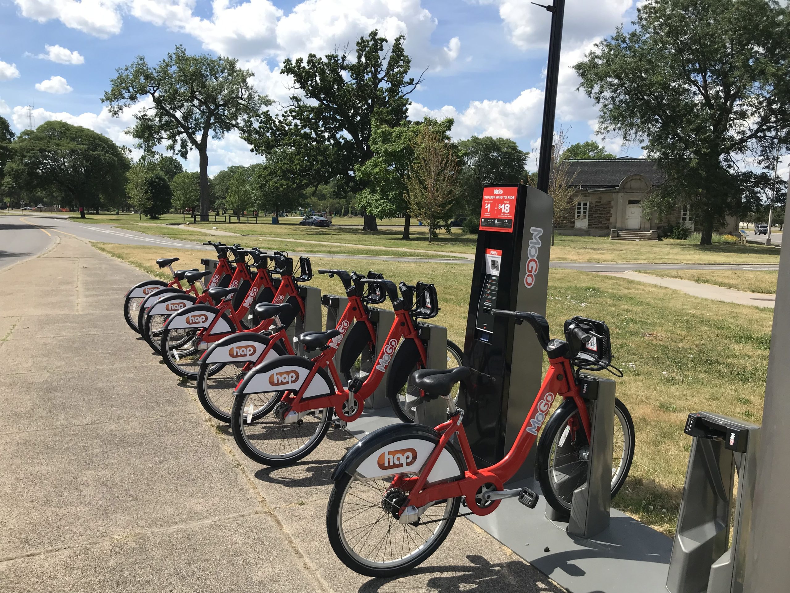
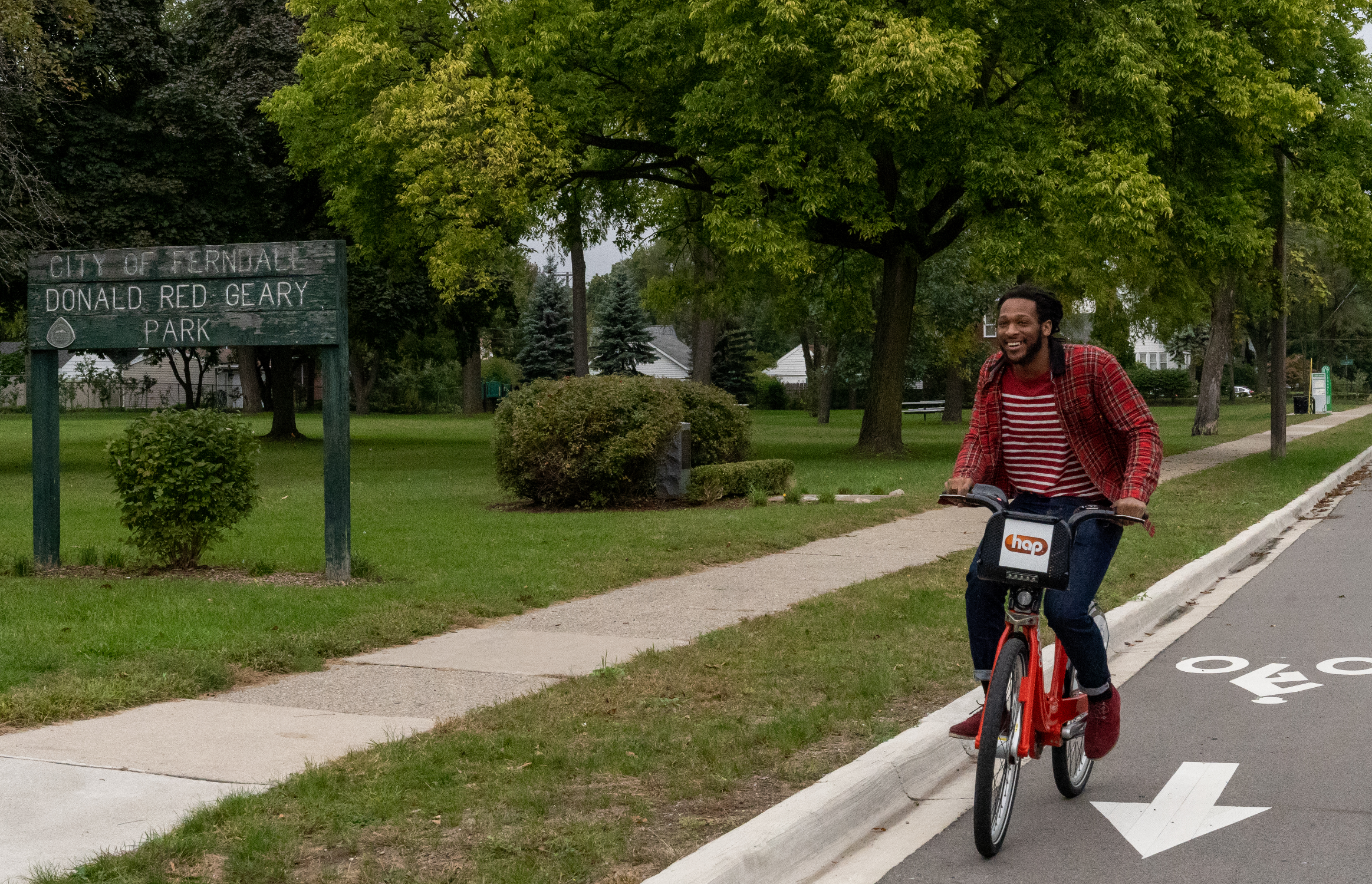
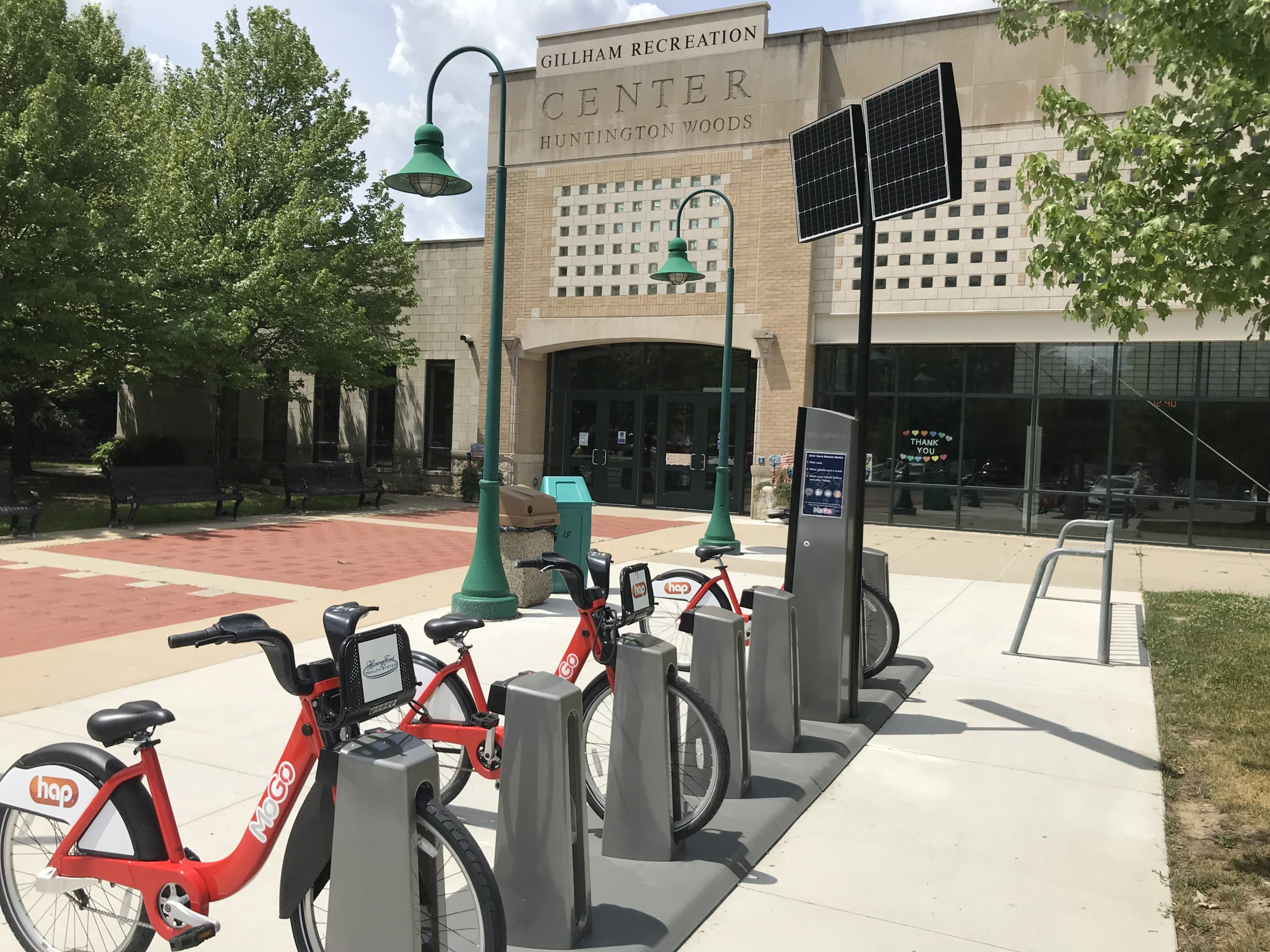
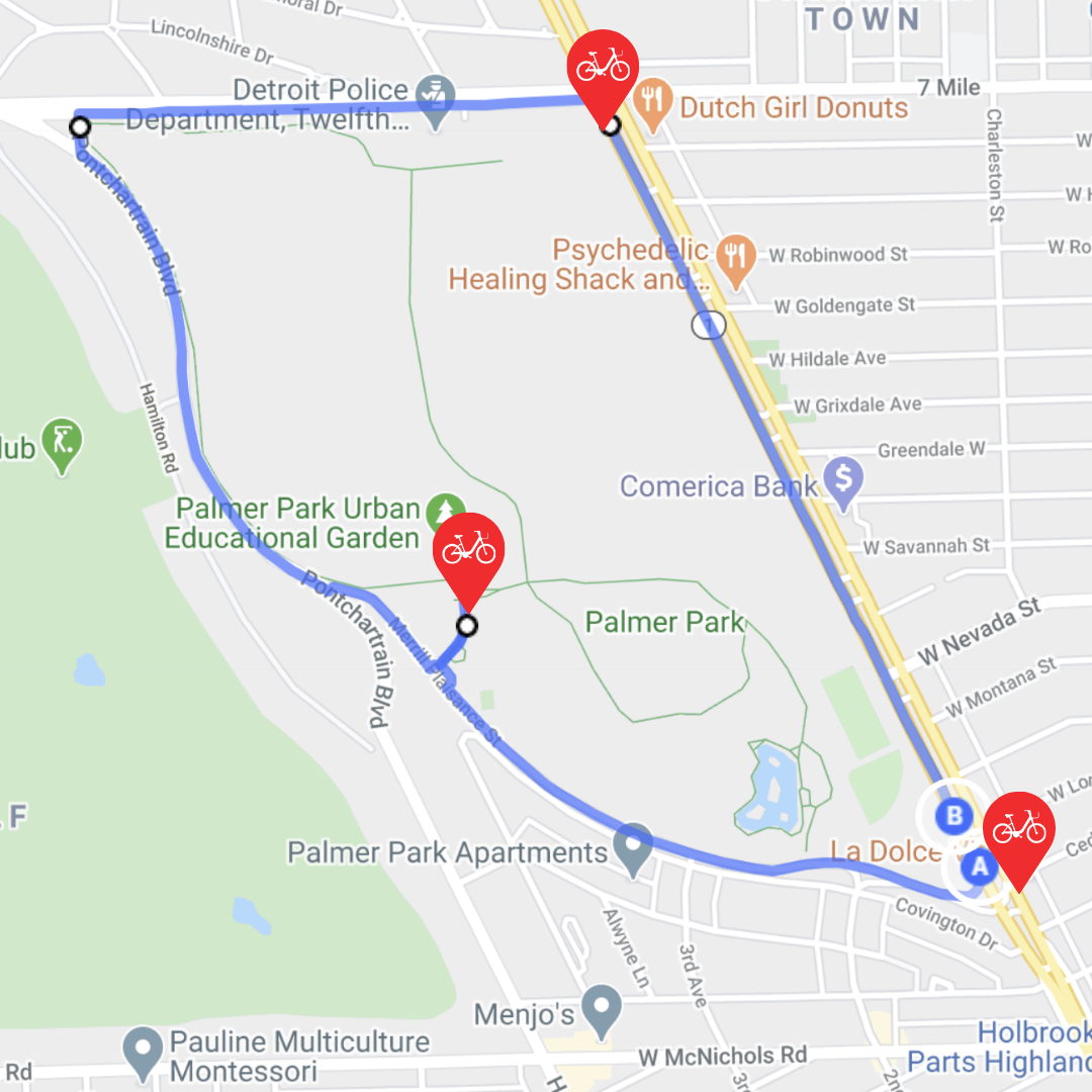
Beginner - Palmer Park - Total distance: 2.8 miles
Start and finish: Woodward and Merrill Plaissance
Mid-point: N/A
Stations along the way: Palmer Park Community Center
If you’re looking for a ride that’s short, easy, and flat, this is going to be the ride for you. Palmer Park is one of Detroit’s largest parks, with historic sites, tennis courts, and trails, and it stretches along Woodward Avenue from McNichols to 7 Mile. Here's a link to a map of the route.
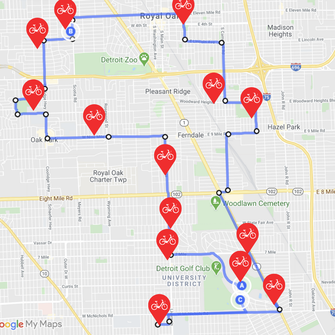
Ready to Ride - The Park Loop - Total distance: 10 miles
Start and finish: 9 Mile and Woodward
Mid-point: Huntington Woods Rec Center
Stations along the way: Earle and Pinecrest, Coolidge and Lincoln, Troy and 2nd, Woodward Heights and Wolcott, all 9 Mile stations
Take an afternoon to circle through the MoGo North area, and you’ll see plenty of parks along the way. Why ride along these busy corridors? Oak Park recently completed construction on their 9 Mile bike trail, where you can get a smooth and easy ride away from traffic. Plus, you’ll get a taste of Downtown Royal Oak and Downtown Ferndale in between the greenery! See the route here.
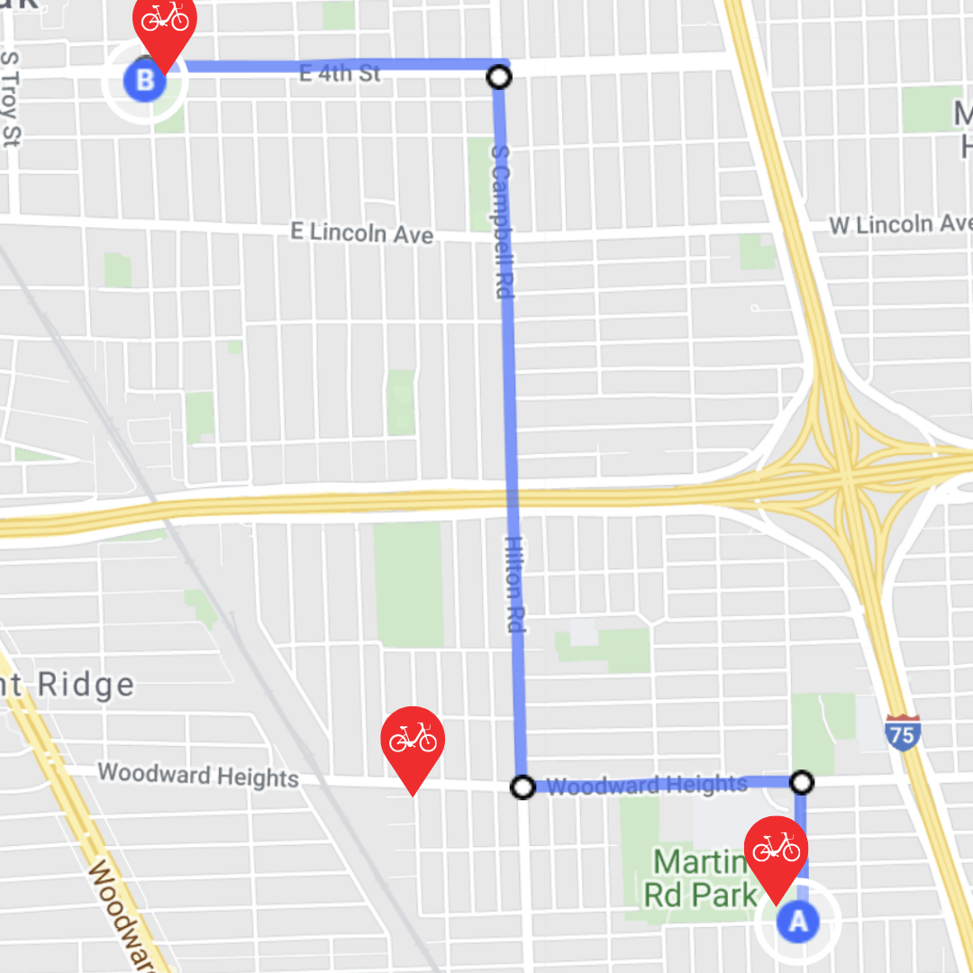
Intermediate - Ferndale to Royal Oak - Total distance: 5.5 miles
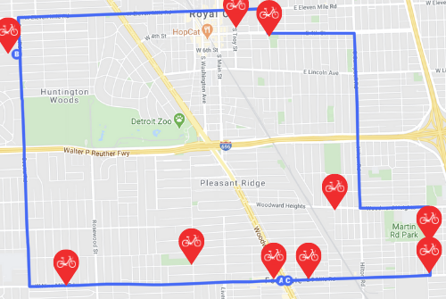
Start and finish: Martin and Orchard Station
Mid-point: Kayser and 4th Station (dock your bike here!)
Stations along the way: Woodward Heights and Wolcott
This ride from Ferndale to Royal Oak gives you a few different bike rides in one - experience the quiet side streets of two bustling cities, travel along busy corridors, and see other parks in between. On your way from Martin Road Park in Ferndale to Grant Park in Royal Oak, veer off course a bit to find 5 other parks as well! Check out the route!
Professional - The Park System - Total distance: 22.5 miles
Start and finish: Palmer Park Community Center
Mid-point: Kayser and 4th Station
Stations along the way: 7 Mile and Oak Drive, all Livernois stations, Earle and Pinecrest, Oak Park Blvd and Parklawn, Coolidge and Lincoln, Troy and 2nd, Woodward Heights and Wolcott, all 9 Mile stations, Grove and Prairie
If you scrolled this far, you’re already ahead of the game.
If you’re planning to bike 22.5 miles, good for you.
If you’re going to do it without a Boost bike, you’re probably a superhero.
If you'd like the route map, click here.